 Welcome to Mammoth Lakes!
Mammoth Lakes is a town in Mono County, California, the county’s only incorporated community. It is located 9 miles (14 km) northwest of Mount Morrison, at an elevation of 7,880 feet.
According to the United States Census Bureau, the town has a total area of 25.3 square miles (66 km2), of which 24.9 sq mi (64 km2) are land, and 0.4 sq mi (1.0 km2) (1.74%) water.
Mammoth Lakes lies on the edge of the Long Valley Caldera. The area around the town is geologically active, with hot springs and rhyolite domes that are less than 1000 years old.
Visitors can take State Route 203 from the town of Mammoth Lakes to the Mammoth Mountain Ski Area, over Minaret Summit, then down to Devils Postpile National Monument, with access to the Ansel Adams Wilderness.
The area has natural hot springs which are sometimes used after skiing. Other features include lakes, a soda springs, and an obsidian dome. Mammoth Lakes is north of the Owens Valley, a scenic area with extensive hiking opportunities.
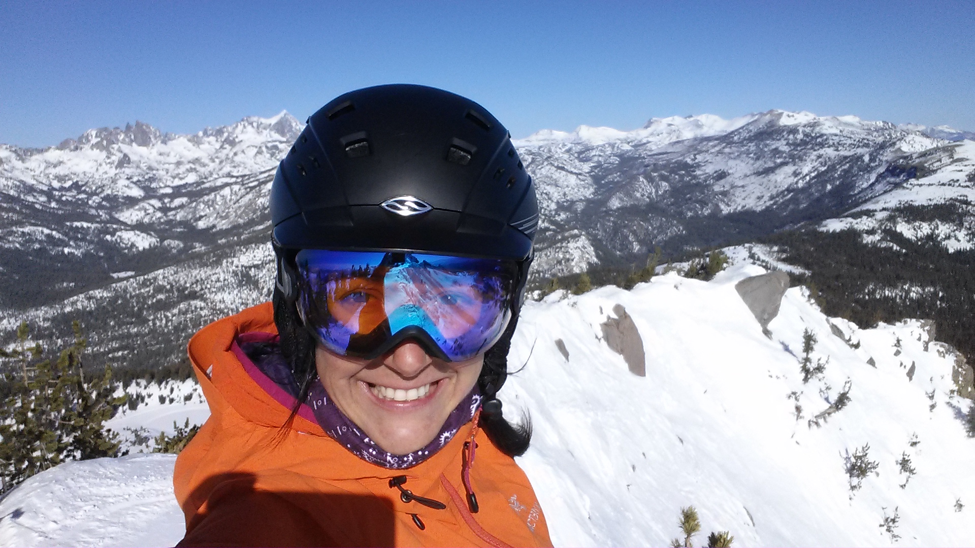
The town is surrounded by mountains: on the west, Mammoth Mountain looms over the town, while to the south, the Sherwin Range dominates the view. This hilly terrain and the high altitude makes the area great for high-altitude athletic training.
The town is surrounded by acres of forest and is bordered by the Ansel Adams and John Muir Wilderness Areas. The eastern entrance of Yosemite National Park is located 32 miles (51 km) north of town. The town is situated in the southwestern, mountainous part of Mono County, California.
Due to its high elevation, Mammoth Lakes has a dry-summer humid continental climate (Köppen Dsb), with long, very snowy winters, and warm, dry summers. Snowfall is particularly heavy from December through March, and averages 206 inches (5.23 m) per season. On average, there are 21 days of 80 °F (27 °C)+ highs and 5.2 nights of sub-0 °F (−18 °C) lows annually.